Језик / Language

img

Његошева бб, 73300, Фоча

Rivers

Seventeen rivers and streams flow in the territory of the municipality of Foča. Some of them are valued for tourism, ie. suitable for rafting, rafting, kayaking and other water sports (Tara and Drina), while some are exclusively suitable for fishing and as picnic spots for many nature lovers during the summer period.

Tara is a river that is often called the “Tear of Europe”, it is one of the largest reservoirs of drinking water. You can freely drink the water from Tara in the entire course of the river. Rafting on Tara is recognized as a brand of this region and every year an increasing number of tourists come to this river. What is interesting about Tara is that its canyon is the deepest in Europe with 1300 masl in some parts. By cutting a road along the right bank of this river, opportunities were created to tour the canyon, where some of the most beautiful viewpoints are located.

In 1977, Tara was included in the Ecological Reserve of the Biosphere of the World, and in 1980 its canyon was included in the UNESCO World Heritage List of Natural Resources.

Drina is also, like Tara, an exciting and clean river, in its initial course. It originates in Šćepan Polje from the confluence of the Piva and Tara rivers and flows all the way to the Sava in a length of 354 km. The beauty of the Drina is not only in its water but also in the landscapes that surround it: deep canyons and straits, impenetrable forests, eagles circling above its gorges, villages scattered on the mountain sides.

Sutjeska is a very fast mountain river that rises on the slopes of Volujak at 1500 m.a.s.l. and is 37 km long. The Sutjeska flows through the central part of the “Sutjeska” National Park, and the Park got its name from it.

On her short journey, she is joined by numerous small rivers and streams that flow from the foot of Maglić, Volujak and Zelengora.

The main tributaries of Sutjeska from the west are Jabušnica, Hrčavka and Bukovik, and from the east Suški potok, Perućica and Ždrijelo. All these waters of the Park are crystal clear and clean, rich in brown trout and other forms of life characteristic of those ecosystems. Since the early years of the Middle Ages, the Via Bosnia and Via Drinas caravan route to Central Europe and Constantinople passed through its canyon.

The Hrčavka flows through the Sutjeska National Park and flows into the river of the same name. Recently, canyoning has been organized on Hrčavca, given that this river flows through attractive areas ideal for this type of adrenaline sport.

In recent history, it is also known for the battle from the Second World War.

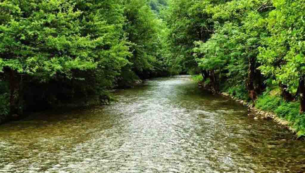
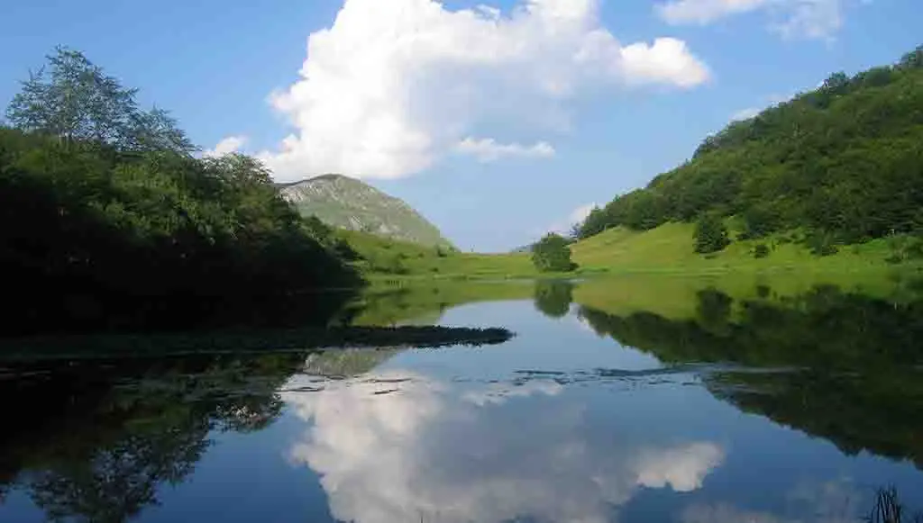
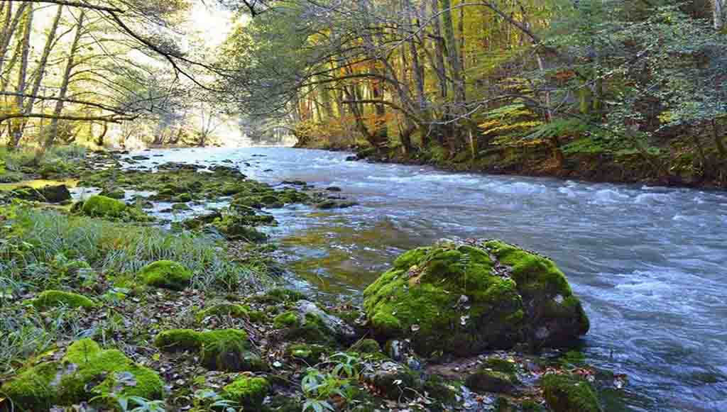
Ćehotina rises on the slopes of Stožer at 1,380 m above sea level in Montenegro and is 125 km long. It is specific due to the special shape created by its canyon, which is in the shape of the letter “O”.

As in all the rivers of this region, the following can be fished in Ćehotina: brook trout, rainbow trout, grayling, grayling, barbel and others.

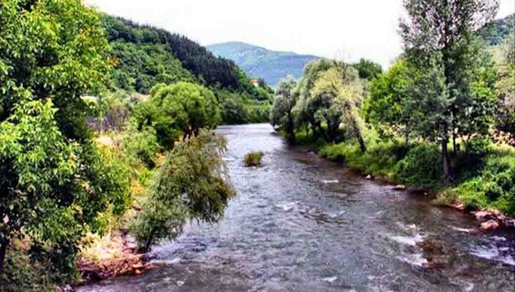
Ćehotina flows through the very center of Foča and flows into the Drina. Aqua park “Ušće” was built at the confluence of the Ľehotina and the Drina, which is visited by a large number of local residents and tourists in the season.

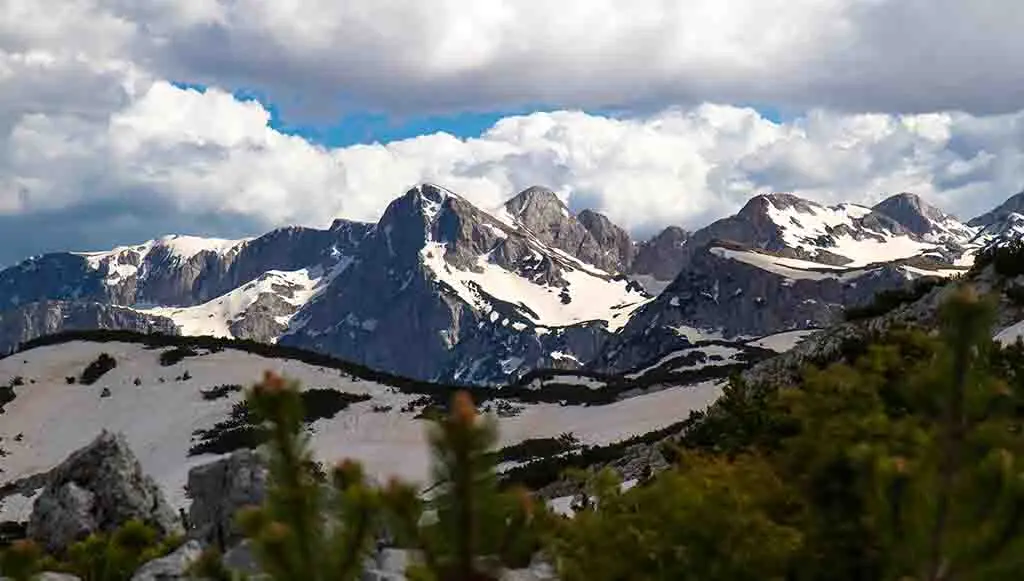
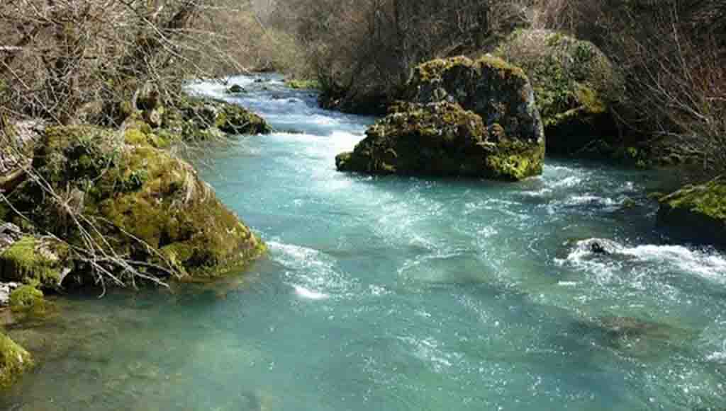
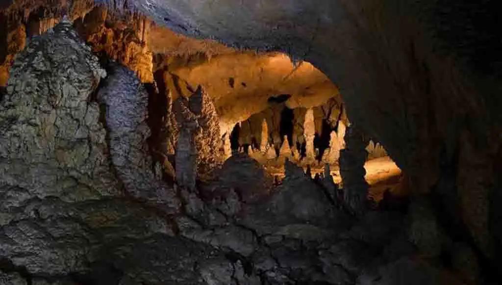
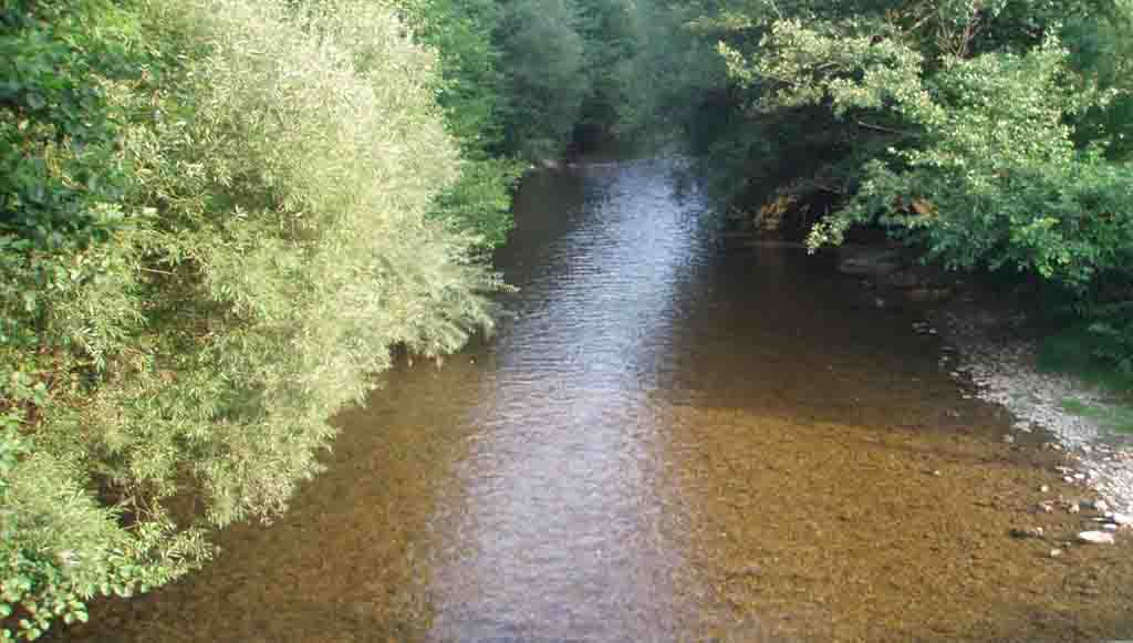
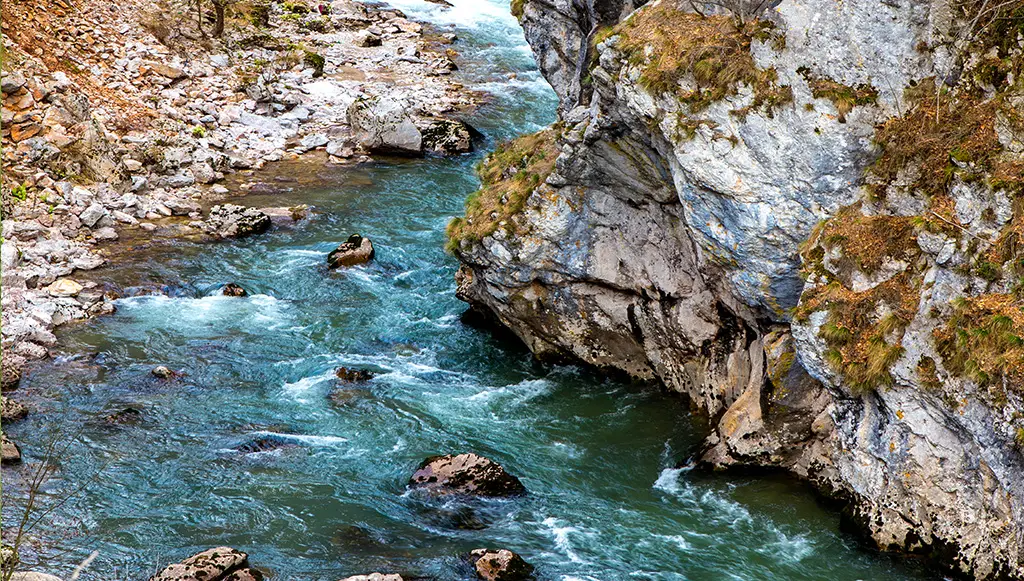
Bistrica consists of the Dobropoljka river, which rises below Treskavica, and the Varoška river, with its source on the slopes of Jahorina. It is 17 km long, and the depth of the canyon reaches up to 700 m. The largest tributaries of Bistrica are Govza and Oteša, which rise on the slopes of Zelengora. A very interesting karst phenomenon in the Bistrica Gorge is a short tunnel cave – an overgrowth at the beginning of the Sieracka Gorge. Bistrica enters the gorge through Samar, one of the most beautiful overgrowths in our country. Bistrica flows into the Drina, three kilometers upstream near Brod.

Natural Heritage